Click Below
An hour’s drive east of Enchanted Rock is Pedernales Falls State Park. From Johnson City, it’s a long drive along empty dusty roads to reach the park. Also in this area is the Smith Ranch in Blanco — or take a look at the ranch in the Museums section.
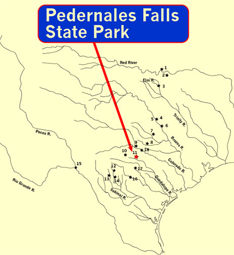
The park takes its name from the many falls along the Pedernales River—and from the word pedernal—Spanish for flint. In paleo times, bands of hunter-gatherers came to the falls in search of fine chert for their spear points.
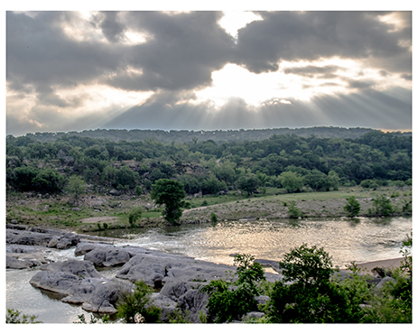
Like most Texas rivers, heavy rains from miles upstream can bring treacherous flash floods to river bends. The river rises so quickly that there is an early warning system for residents and hikers. Paleoindians must have been aware of the dangers of camping in this rocky hill country.
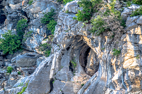
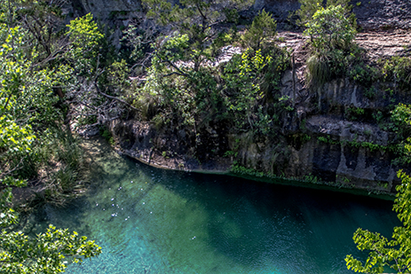
The power of gushing water moves rocks and boulders, carving out new channels through the limestone and hollowing out caverns in the bluffs that line the river banks.
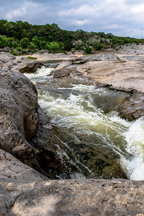
In the Shadow Trails story, our small band of travelers peer out from their shelter perched above the river and watch in dismay as the water rises, slowing their journey south.
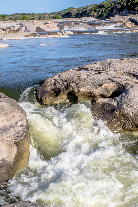
But when calm waters return, the river gently flows through the channels and into small pools—
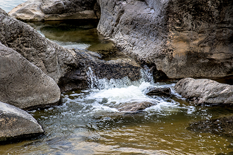
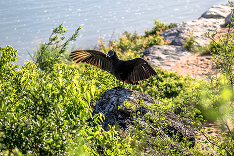
And beaches where fish and mollusks breed—
—and larger predators feed.
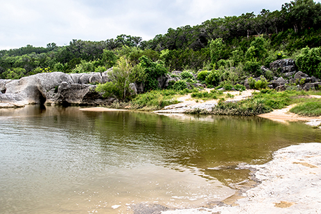
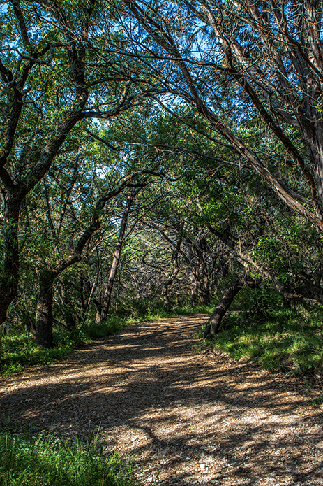
Paleo bands would have made camp farther up the banks in the surrounding forests.
Where fresh-water springs flow over limestone shallows—
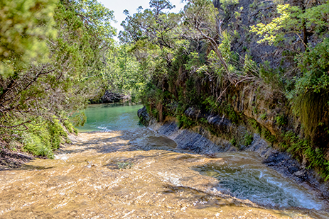
—and empty into clear ponds.
For Additional Information
Click on the link below